Settlement of the Vale of Edale appears to date from at least the early medieval period, although the principal Iron Age and Romano-British activity of the central Peak is concentrated on the surrounding ridges — Mam Tor immediately south, Brough-on-Noe (the Roman fort of Navio) a few miles east — rather than on the valley floor. The valley itself was, after the Norman Conquest, part of the royal Forest of High Peak, a Crown hunting preserve administered with some rigour through the medieval period. Edale Cross, on the high moor at the western head of the valley, marked the junction of three of the Forest's administrative wards — Hopedale, Longdendale and Campana — from at least the medieval period and probably earlier.
The valley's medieval settlement pattern, established in the thirteenth century, was based on vaccaries (cattle farms, or ‘booths’) granted to local tenants along the valley sides. The five hamlets of Upper Booth, Barber Booth, Grindsbrook Booth, Ollerbrook Booth and Nether Booth descend directly from this settlement pattern; the name forms still in use today preserve the medieval grant-tenancies almost unchanged. The valley name is first recorded in Domesday Book (1086) as Aidele, with the sequence of recorded forms running through Heydale (1251), Eydale (1275), Eydal (1285) and Edall (1550) before reaching the modern spelling, first attested in 1732.
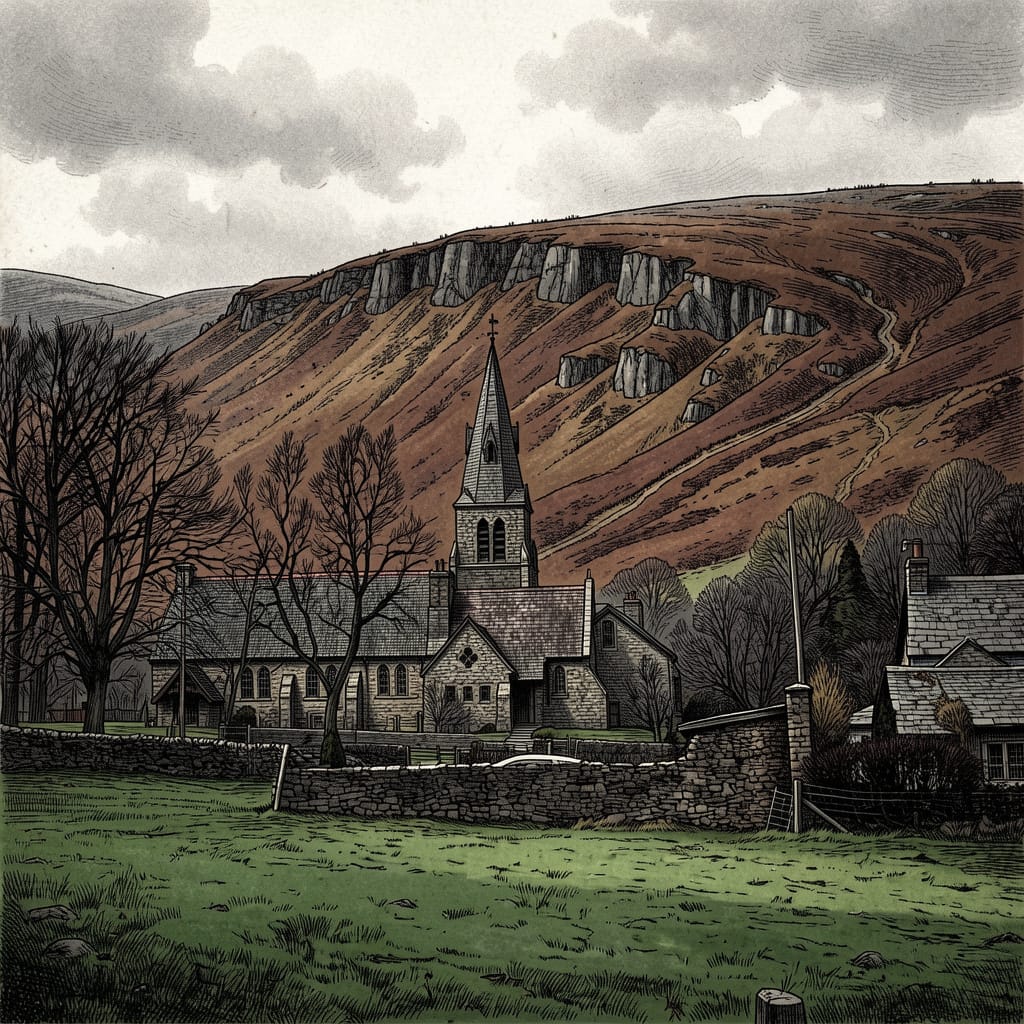
The Old Nag's Head, at the head of the village, was originally a smithy of 1577 and is among the older surviving buildings of the parish; it has functioned as a pub since the eighteenth century, and as the official southern start-point of the Pennine Way since 1965. The opening of the Hope Valley Line between Sheffield and Manchester in 1894, with a station at Edale, transformed the valley's accessibility; the railway has since been the principal route by which the urban populations of Manchester and Sheffield reach the central Peak.
The valley has been at the centre of the modern open-access movement. The 1932 Mass Trespass on Kinder Scout, planned and led by the British Workers' Sports Federation under Benny Rothman, was a two-pronged action: the main contingent of approximately four hundred trespassers ascended the plateau from Hayfield to the west, while a smaller Sheffield contingent climbed up out of Edale via Jacob's Ladder and Edale Head to meet them on the top. The two groups met briefly on the plateau before returning to their respective valleys; six of the Hayfield trespassers were arrested on their return and five were imprisoned. The trespass is generally regarded as the catalyst for the 1949 National Parks Act and, in 1951, the creation of the Peak District as the first National Park in the United Kingdom. In 1965, when the Pennine Way was opened as the first long-distance footpath in Britain, its southern terminus was set at Edale.
The Pennine Way, opened in 1965, runs 268 miles from a fingerpost in a field beside the Old Nag's Head at the head of the village north along the Pennine watershed to Kirk Yetholm in the Scottish Borders. It was the first National Trail in Britain, conceived in the 1930s by the journalist Tom Stephenson on the model of the Appalachian Trail in the United States, and its eventual opening — thirty years after Stephenson's original article in the Daily Herald — was the formal achievement of the open-access campaign begun by the 1932 Trespass. The Way's opening ceremony was held on Malham Moor on 24 April 1965, the thirty-third anniversary of the Trespass.
The Way ascends Kinder Scout immediately from Edale, either via Grindsbrook Clough or, in poor weather, the alternative route up Jacob's Ladder past Lee Farm and Upper Booth. The first day of the walk — out of Edale and across the Kinder plateau to Crowden in Longdendale — is regarded as one of the harder opening sections of any National Trail, both in terms of distance (around sixteen miles) and in terms of the difficulty of navigation across blanket peat in poor visibility.
The valley has long been the principal centre of walking for the central Peak. Several thousand walkers pass through the village in a busy summer weekend. The infrastructure of accommodation, gear retail, walking-orientated cafés and tearooms, and the YHA youth hostel a mile from the village centre at Rowland Cote, all reflect this single visitor economy. Off the main walking season, in winter, the valley reverts to its working state: a working hill-farming community of perhaps three hundred and fifty residents, in a parish almost ten times the size of the City of London.